The JSA
Whenever I write two entries in a row, I like to let you know in the second one that there’s another one just below it. This is such a time.
The other day, Sean, Natalie, Amanda, and I went to the Joint Security Area. The JSA is the only place on the DMZ where North and South Korea can meet to have discussions. At all other places on the border, there is only a four-kilometer-wide wilderness and a lot of guns pointed into it. The JSA is also the only place where a person can see up close, and even step into, North Korea without consequence except if you go on the package tour offered by North Korea’s government—which costs about $15,000, one hundred percent of which goes to the government.
To prepare for stepping into the most totalitarian country in the world, we ate cake in Seoul.
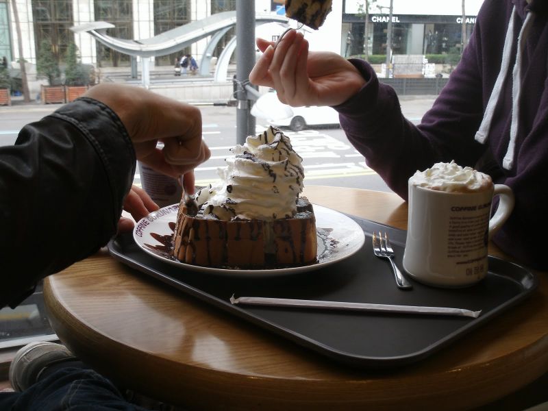
Then we went to our DMZ tour agency on the 6th floor of perhaps the poshest hotel I’ve ever trodden in, paid (W78,000 or about $70), and waited downstairs for our bus.
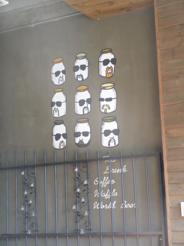
The road to North Korea is a lonely one, and gets lonelier the closer you get. While we were still edging out of Seoul, we stopped to have a nice lunch. Sadly, we didn’t eat at this place with bearded jars; it was just nearby. The food was good where we ate, but not nearly as hip, I expect.
As we progressed northward, our tour guide, a quick-talking guy with a leather jacket who added “the” before every other word in a misguided attempt to speak better English, pointed out the signs that we were nearing the most heavily defended border in the world. For example, the anti-tank walls. You’d never pay any attention to them: they’re big, concrete structures that rise up next to the road and then arch over the traffic, like a bridge except that they don’t go anywhere. One of them had a billboard on it. Their secret is that they’re wired with dynamite, and if North Korea ever sent any tanks down the road, the South Koreans could blow up the anti-tank walls and cover the streets with impassable rubble to slow down the invasion. There were also very elaborate fences, always at least two in parallel, sometimes with rocks placed in the mesh just so, so that they’ll fall down if anyone tampers with the fence. The highway continued to have the same number of lanes, but the traffic dwindled and soon we were one of the only vehicles passing through these estranged rice paddies.
As we moved on, our guide told us the reason behind some of the strict and apparently arbitrary rules they have in place at the JSA. It used to be that you weren’t allowed to wear blue jeans. This is because, once upon a time, the North Koreans took photographs of some JSA tourists who were in blue jeans, and put the photographs into propaganda that said, essentially, “Look, Western people are so poor the only pants they can afford are blue jeans.” Now you’re allowed to wear blue jeans, because even North Koreans have become aware that there are some pretty damn expensive blue jeans out there and some pretty chintzy khakis, but your jeans still aren’t allowed to be scruffy. You’re not allowed to wear sandals, but that’s for a different reason: simply put, if something happens, you need to be able to run like hell. Something I found particularly compelling was the reason you’re not allowed to point at anything there, anything at all. It’s because if you point, the North Koreans have an excuse to say that they thought you were pointing a gun, and they may shoot you. “You think it’s a kidding,” our guide said. “It’s not.” Once, a woman went out for a morning stroll somewhere in or near the JSA, something she wasn’t allowed to do. She was shot dead.
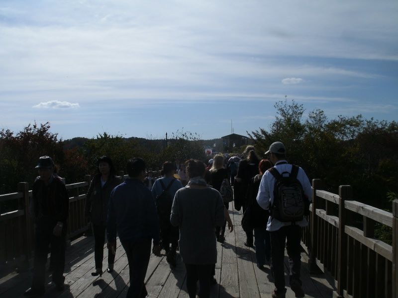
We stopped at Imjingak, the farthest north that South Korean citizens can freely go. They’ve built a sort of park there, a confused kind of place as though they couldn’t really decide what they wanted to mark this milestone with. There’s an amusement park on the way in, and then after that they have monuments and a modestly tall building on which you can climb to the top and see what’s around. This is what you can see from up there:
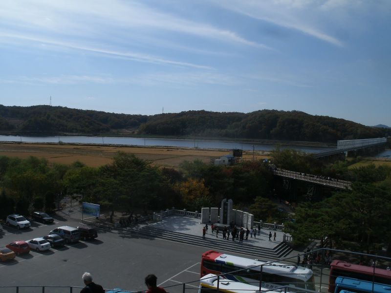
There’s a monument that I couldn’t read, but the feeling was clear enough. And there are two bridges. The smaller bridge is for ceremonial purposes. At one point, when things were still settling down in the aftermath of the war, that bridge was the way a few people were allowed out of North Korea. First they had to cross the river using the larger one, which was and still is a railroad bridge. Once they got to the smaller bridge they turned, because other people were waiting on the tracks to head north. The reason they had to use a railroad bridge is that the other bridge had been destroyed. The columns are still there.
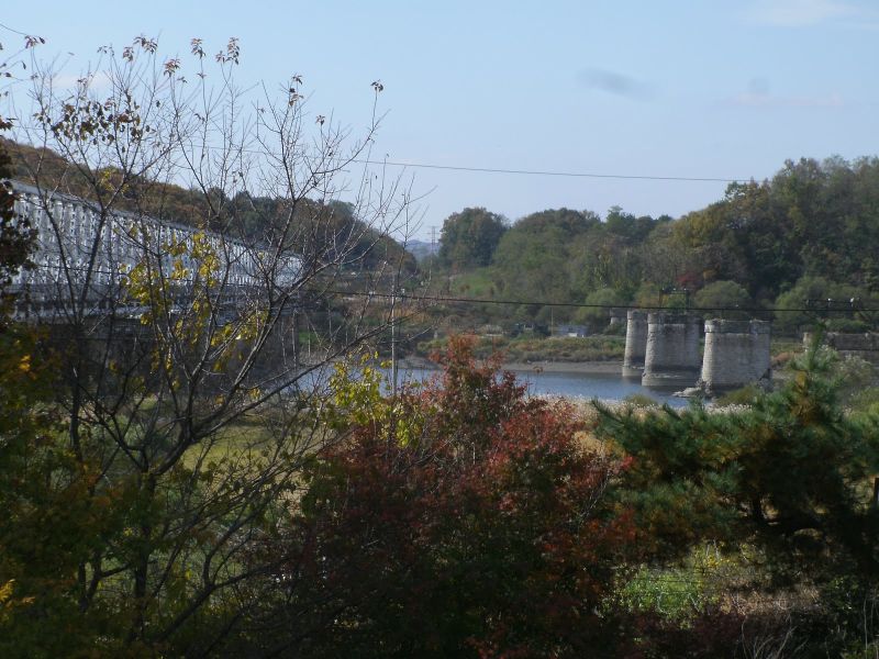
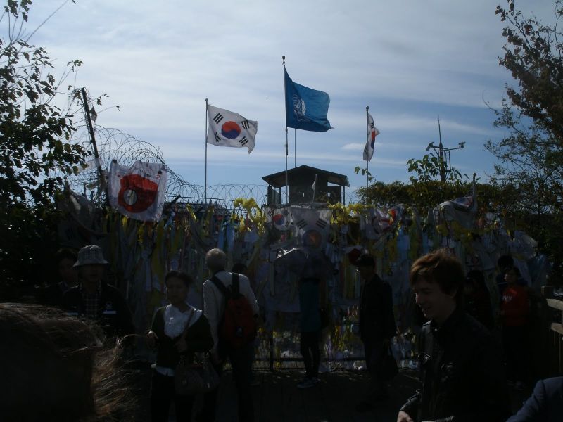
Nowadays the smaller bridge dead-ends at a fence, and people attach their wishes for unification and peace to the wire mesh.
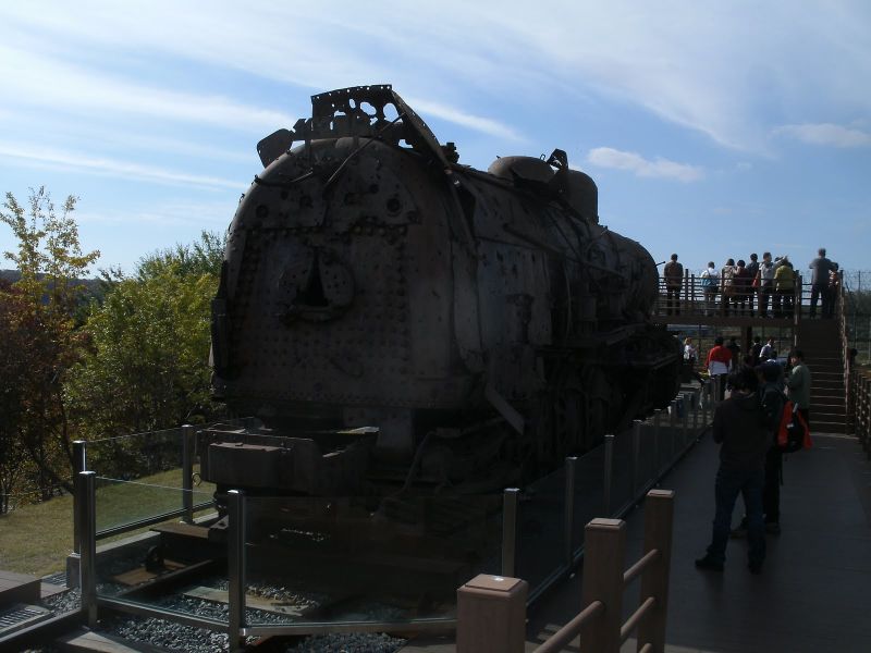
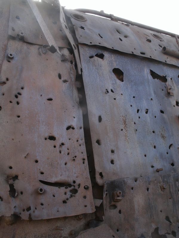
Nearby they keep the last train ever to enter North Korea. It looks like its trip wasn’t the easiest.
We only had a short fifteen minutes to wander around Imjingak, and then we had to either get back on our tour bus or be left behind. We were taken to Panmunjom, which is another name for the JSA. The name Panmunjom comes from the name of the village that used to be there before the war tore through; now, they have buildings, but of course the only people living there are soldiers, and they don’t exactly have that neighborly down-home feel. Despite that, on the way there I was surprised to see rice paddies everywhere, even flanking the one-lane road that the bus used to get in. Prepared for our puzzlement, the tour guide explained to us that yes, there is rice farming done even all the way out here inside the Civilian Control Area. The rice is harvested by farmers who have been given special permission to live inside the DMZ. They have to stay inside after a strict curfew, and in order to keep their right to live there, they have to sleep there at least 200 nights out of the year. But their rice fetches a premium, because everything inside the DMZ is known for being very pure and clean as a result of no one ever daring to mess with it. I suppose it’s all worth it to them.
Before we could progress any further, we were required to show our passports to some soldiers and put on badges. Before long, we had arrived at Camp Bonifas (pronounced BONN-i-fuss). It’s a small complex of buildings where the South Korean troops and some American troops stay. They showed us a slideshow about the JSA’s history, but we weren’t allowed to take any pictures. (This is a rule they never really fully explained to us—we could take pictures in some places but not in others, and the choices didn’t seem to make a lot of sense sometimes. Why not the slideshow?) From this we learned that Camp Bonifas is named after one of two men who were killed in the ’70s, during more innocent times in Panmunjom. Back then, the whole village was a “free zone” where soldiers of either nationality could go wherever they wanted, though it was of course very strictly regimented and everyone was stationed at well-defined posts. Taking advantage of this, North Korea set up three posts to surround one of the US Army’s posts. The only other US post that could defend the surrounded one was blocked from seeing it by a big poplar tree. So the US Army sent a small dispatch out with an axe to chop the tree down. While they were at it, a North Korean soldier came up to them and told them that Kim Il-seung had planted that tree with his own hands and made it grow using his magical lifeforce, and so they had better cease chopping at once. The US soldiers told them to get bent because they had a tree to chop. The North Koreans brought more soldiers and told them to stop again, and the US soldiers merrily ignored them. Then the North Korean soldiers grabbed the axe and started chopping into the Americans. By the time everything was back under control, Bonifas was dead, and so was a soldier named Ouellette. In time they both had something nearby named after them. More immediately, though, a few days later the US Army brought in a massive number of troops and some of their heaviest equipment and stood there chopping the tree down the rest of the way and daring the North Koreans to do something about it.
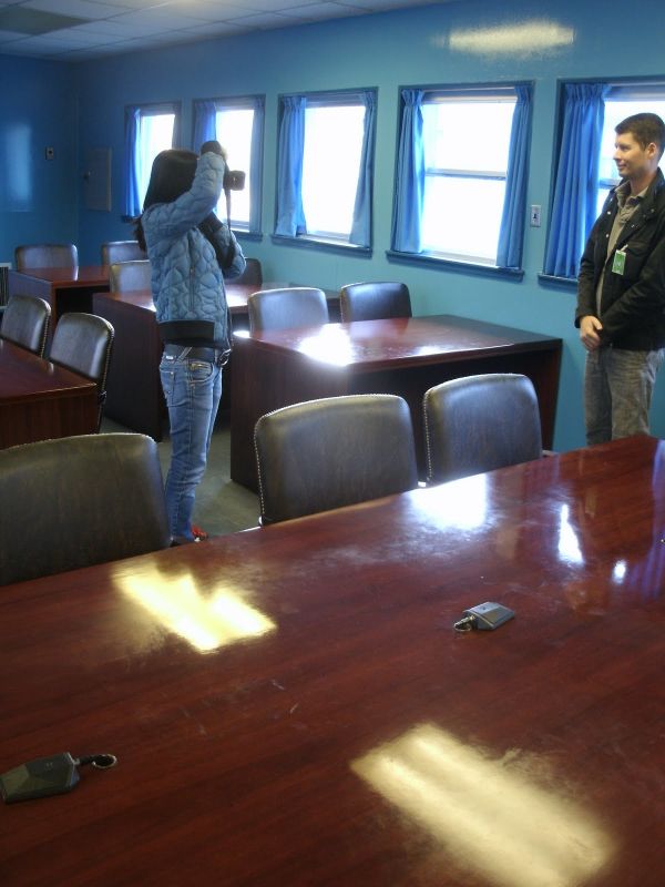
We came out of the briefing room and walked through a pristine building and came out face to face with North Korea. There’s a small row of modular, nondescript, blue buildings that straddle the border. Between the buildings there’s a slab of concrete that shows exactly where you are not allowed to go. We were allowed inside only one of the buildings, the conference room. It looks like this.
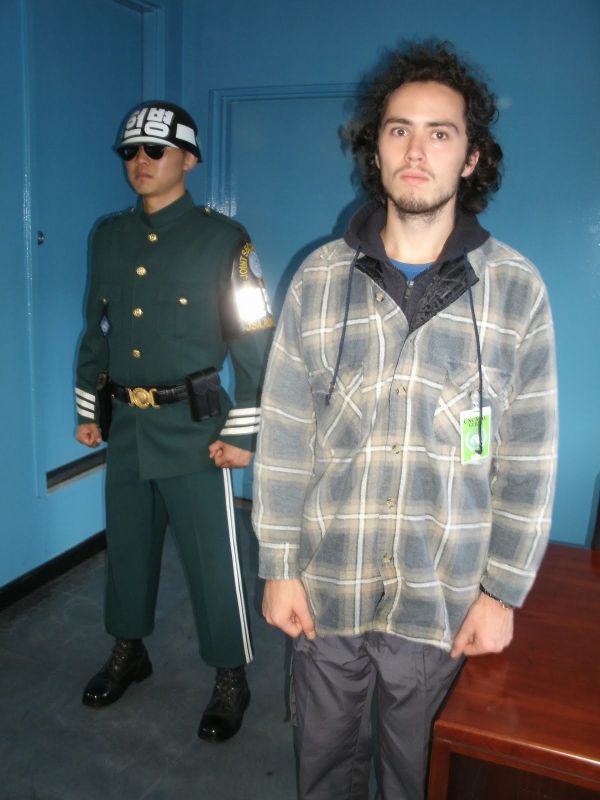
This South Korean soldier stands guard on the North Korean end of the room.
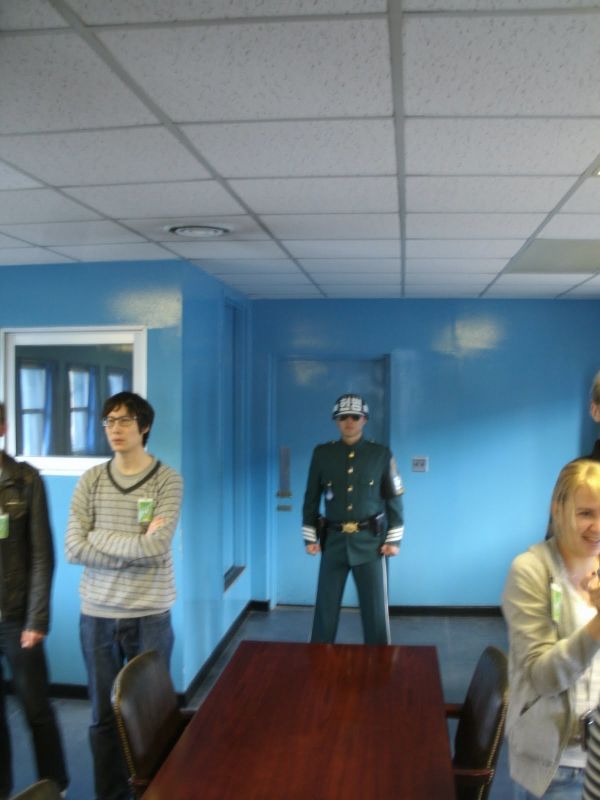
The South Korean soldier in the background, against the wall, has one foot in either country. Amanda is the one hamming it up in the front.
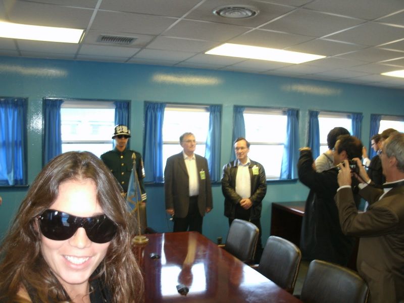
Same divided soldier.
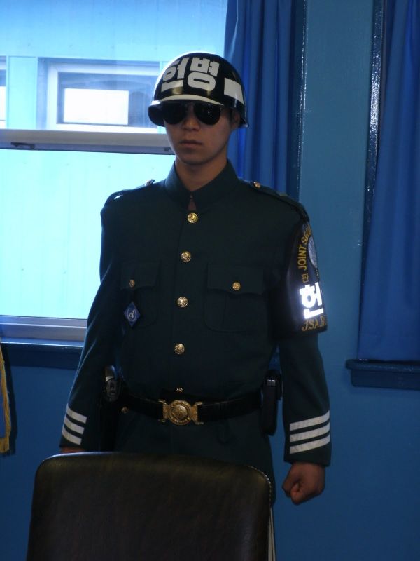
The row of microphones down the center of this table marks the border. I’m on the North Korean side.
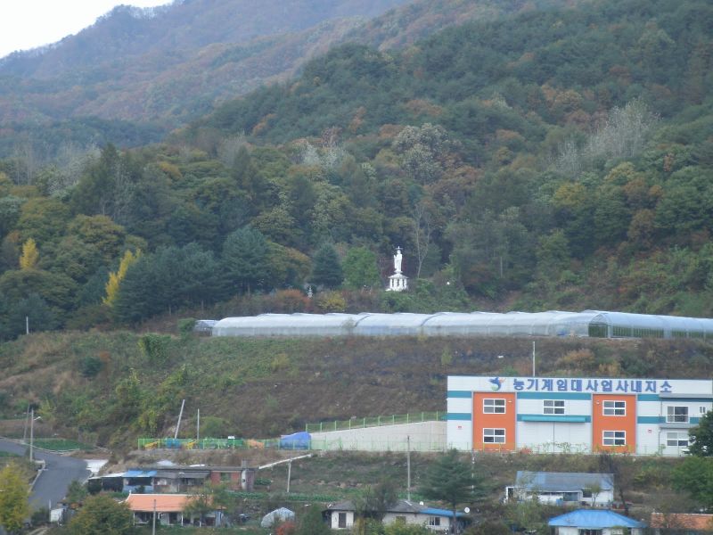
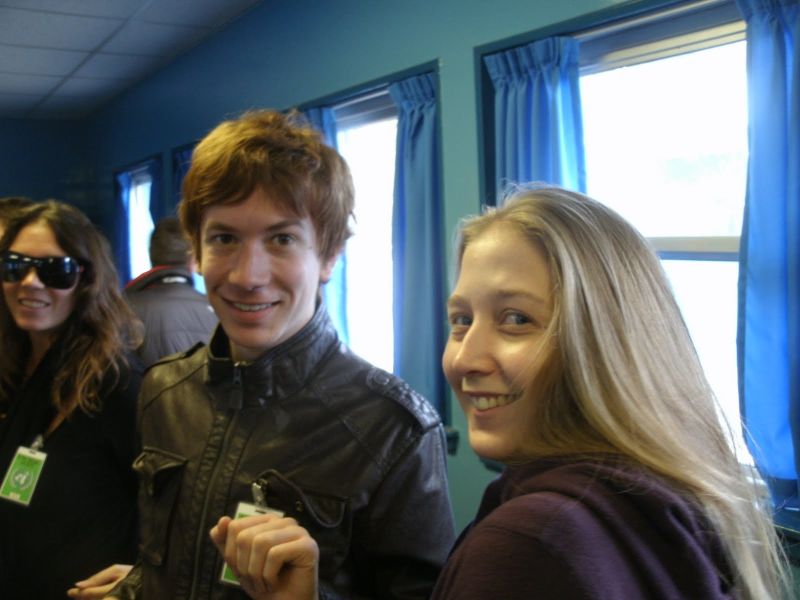
I biked up here the other day to stretch my legs and see a view that wasn’t the one from my window. I met a soldier there, and we each spoke a little of the other’s language, so we had a little conversation. There were two buildings, and he explained that one of them was the soldiers’ temple where they could do ceremonies, and the other was for civilians. He also showed me the little clearing next to the statue, where you can sit and look up at it. There are benches and chestnut trees. Chestnuts are in season right now, and roasted chestnuts also happen to be one of my very favorite foods, so I picked one up, but he told me they were no good for eating, because they have worms and they’re small. Nonetheless, I found a clean, decent-sized one and took it home. manda, Sean, and Natalie, all in North Korea.
Standing next to the South Korean guard on the North Korean side.
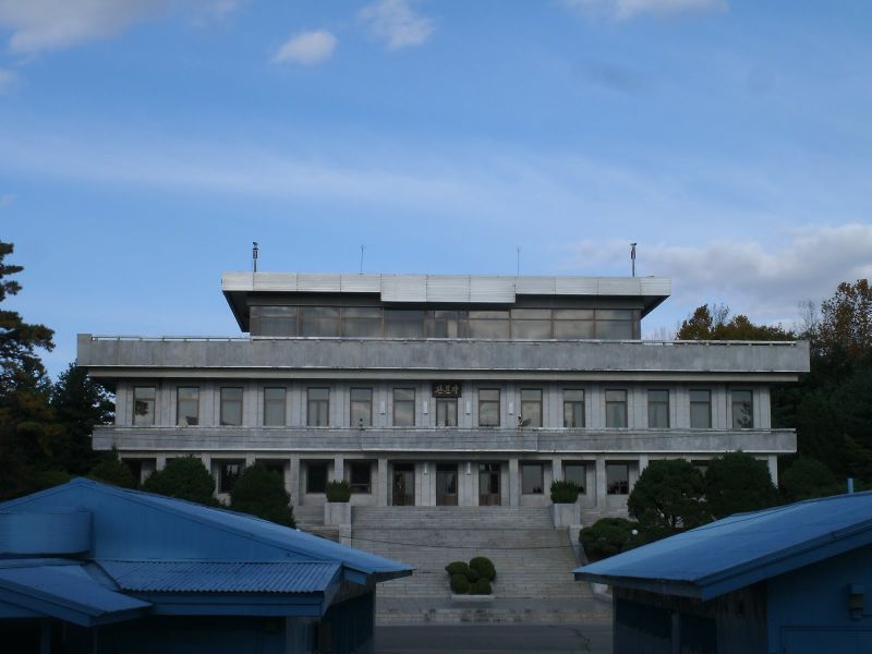
There were no North Koreans inside the building; I believe this is because South Korea owns it. In fact, we only saw one North Korean all day. He was peering at the crowd through a pair of binoculars from the leftmost doorway in the building on the North’s side of the border.
From here we all got back on the bus and the guide showed us some of the other strange things here, but we weren’t allowed to photograph many of them. Each country has a huge flagpole. North Korea’s is considerably taller, but South Korea has a far larger flag on theirs. The borderline is marked by precisely placed white poles, and on the North’s side you can see lots of wilderness, while the South keeps its lawns very tightly crew-cut. Around a bend, you can see a few miles across the border. It’s a beautiful country, completely undeserved by Kim Jong-il. There are gorgeous mountains and trees and natural splendor and fervor. I saw a couple dozen birds fly through the air as our bus trundled past.
We passed by guardposts and the site of the poplar tree that led to the Axe Murder Incident. One thing we were allowed to photograph was the Bridge of No Return. Citizens who were on the wrong side of their border when the armistice was signed were given the choice to cross this bridge to get back to the right side. Once they crossed it, as you’ve guessed, they were never allowed to cross it again.
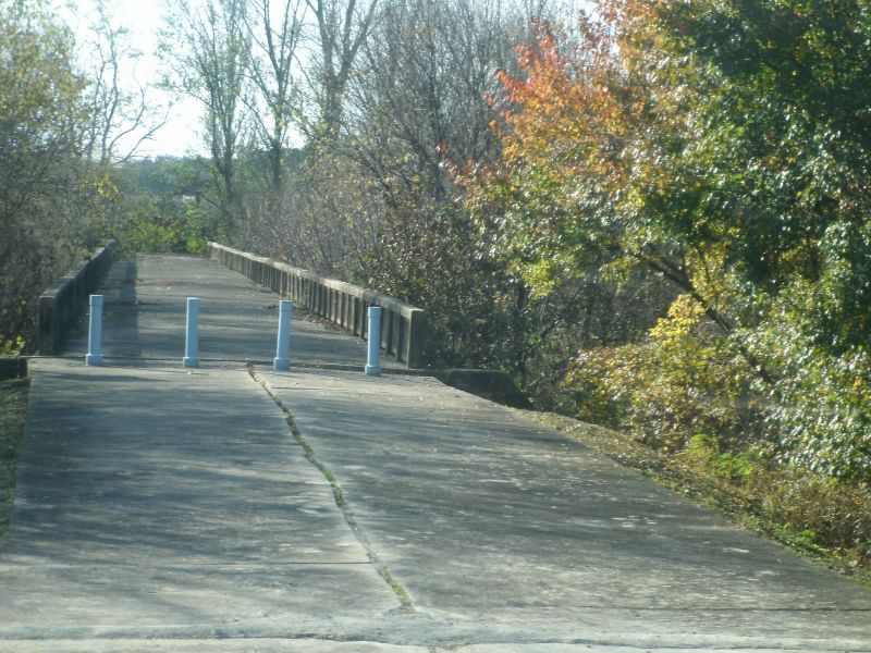
Once we passed this, there was nothing else imbued with much history, so our tour guide turned over the microphone to the soldier next to him, who spoke outstanding English and answered all the questions we had left. Except for the deeper, much tougher ones that we didn’t ask, like: “Why?” I passed the time thinking about how ridiculous this would seem from the perspective of, say, the birds I saw earlier. Once North Korea fails, and it will, this place will become just a place, with some uncreative buildings and an old bridge and a bunch of white poles. People will walk freely in it, and it will seem strange that there was once a time when just pointing at something here could cause you to die. I suppose that’s humans for you.
File under: adventure, photos · Places: Korea, North Korea
Note: comments are temporarily disabled because Google’s spam-blocking software cannot withstand spammers’ resolve.
2 Comments
Anonymous
HistoryI have a grandson that not only has he been to South Korea but he has been to North Korea. Holey Kaboley woeley. (translation: Holey Kabowey wowey). Great pics Nathanael. Another great virtual tour for grandpa. Thanks.
Anonymous
HistoryI am in awe of what you are doing. I never expected that you'd get to N. Korea! Those pictures are unbelievable, and I'm glad you are out of there and safe. I guess what you did shows that wherever someone can, he'll make a tourist buck. And it was worth it, I'm sure, just for the bragging rights. I know I sure bragged you up at my bridge club last night. None of them has a grandkid or anyone else who's been to North Korea. You are truly one in a million. Keep it up! Grandma